Thinking about moving to East Boston and wondering how you will get to the Seaport or downtown each day? You are not alone. Commute options are a top factor for many buyers and renters exploring this waterfront neighborhood. In this guide, you will compare the Blue Line and the harbor ferry experience, see realistic door-to-door time ranges, and learn which East Boston pockets match your routine and budget. Let’s dive in.
East Boston transit at a glance
East Boston’s main rapid transit is the MBTA Blue Line, which runs under Boston Harbor into downtown Boston and connects you to the rest of the MBTA network. The line also serves Logan Airport at the Airport station. You can usually reach a Blue Line stop from most parts of East Boston with a short walk or local bus ride.
Passenger ferries and private water taxis cross the harbor and can connect East Boston’s waterfront to the Seaport and central wharves. Ferry service is not as uniform as rail. Some routes are seasonal, private operators may charge more, and frequency can vary by time of year and weather.
Surface buses and the Silver Line help with last-mile connections. Many Seaport commuters ride the Blue Line into downtown, then connect to the Silver Line to reach Fan Pier and World Trade Center stops. Biking and walking fill in short trips to stations and docks.
Blue Line vs ferry: what matters most
Frequency and reliability
- Blue Line: Peak-hour frequency and steady reliability make it a strong year-round choice.
- Ferry and water taxi: Schedules vary by operator and season, and weather can disrupt trips. Some services run all year while others do not.
Total time and predictability
- Blue Line: Offers predictable headways and consistent trip times to downtown hubs.
- Ferry: Can be quicker over the water for waterfront-to-Seaport trips, but overall speed depends on how close you live to a dock and how well the schedule matches your day.
Cost and transfers
- Blue Line fares are generally lower and include system transfers that can cover the Silver Line and other MBTA routes.
- Private ferries and water taxis usually cost more and may not integrate with MBTA fare products.
Comfort, luggage, bikes, and accessibility
- Blue Line stations often include accessibility features, but you should check individual stations for elevator access. Bikes may be allowed off-peak. Trains can be crowded at rush hour.
- Ferries tend to offer more space for luggage and often allow bikes. Boarding uses ramps or steps, which can affect accessibility for some riders.
Parking and car ownership
East Boston has limited off-street parking in core areas. Driving into downtown can be slow and parking is expensive. Living close to transit can reduce the need for a car.
Lifestyle tradeoffs
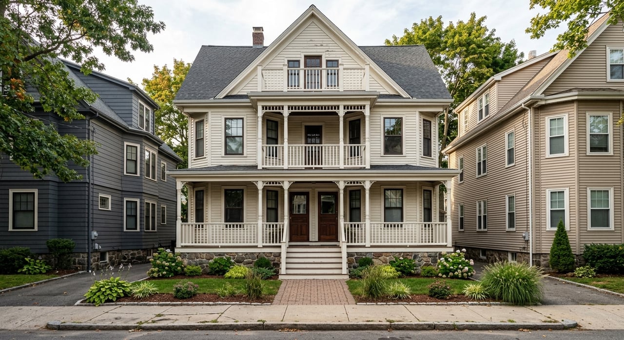
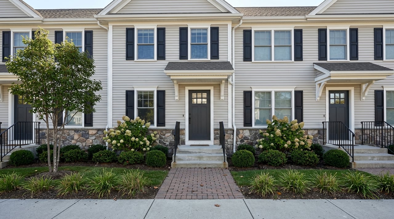
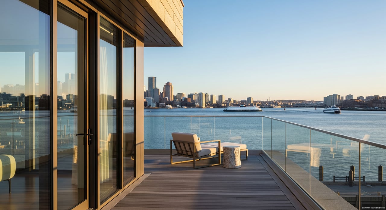
Waterfront living delivers harbor views and potential ferry convenience, but condos near the water typically price higher per square foot. Inner neighborhoods offer more housing types and price points, along with strong access to the Blue Line and buses.
Door-to-door time snapshots
These ranges reflect common commute patterns. Exact times depend on your address, the day, and transfer waits. Always test your route with live tools and current schedules.
Maverick to Seaport (Fan Pier or World Trade Center)
- Blue Line to downtown, then walk or Silver Line: Plan for about 20 to 35 minutes during peak hours. Off-peak can be around 18 to 30 minutes.
- Water taxi from a nearby East Boston dock to the Seaport: About 15 to 25 minutes door to door if you live close to the dock. Service can be less frequent and costs are higher.
Jeffries Point or Eagle Hill to South Station
- Walk to Maverick, Airport, or Wood Island depending on your block, then Blue Line inbound and a connection downtown. Door to door is commonly 20 to 35 minutes, with timing driven by your closest station and transfer.
Orient Heights or Day Square to the Financial District
- Walk or bus to Orient Heights or a nearby Blue Line station. Ride inbound and transfer downtown, then a brief walk to your office. Typical door-to-door time is 25 to 40 minutes depending on transfers and your final address.
Jeffries Point waterfront to Logan Airport
- Reach the Airport Blue Line station from East Boston. Many trips are 10 to 20 minutes door to door from waterfront blocks, but allow extra time if you have heavy luggage or need a shuttle.
Where to live for your commute style
If you want a no-fuss subway routine
Target homes within about a 10 minute walk of Maverick or Wood Island. This keeps your ride predictable to downtown and gives you easy transfers to other MBTA lines.
If you want a quick water ride to the Seaport
Look at Jeffries Point waterfront blocks that are a 5 to 10 minute walk to a ferry or water taxi dock. Confirm the specific operator, stops, and seasonality before you decide.
If budget and housing variety matter most
Explore Eagle Hill and Orient Heights. You will find more two and three-family homes, small condo buildings, and some single-family options at prices that can be lower than waterfront condos. You will likely rely on the Blue Line instead of a ferry.
If airport access is a priority
Prioritize proximity to the Airport Blue Line station and Massport shuttles. This can simplify commutes for airport employees and frequent flyers.
Map your options like a pro
Build a simple personal map to compare homes and commutes.
- Transit layer 1: Plot Blue Line stations Maverick, Airport, Wood Island, and Orient Heights. Add 5, 10, and 15 minute walk rings.
- Transit layer 2: Mark ferry and water taxi docks on both the East Boston waterfront and the Seaport. Add walk rings to see realistic catchment.
- Transit layer 3: Add key bus routes and Silver Line nodes around South Station and the Seaport.
- Housing layer: Note where housing types cluster. Waterfront and Maverick Square areas often feature mid and high-rise condos and mixed-use buildings. Eagle Hill has smaller multi-family and row-style homes. Orient Heights and Day Square mix single-family, triple-deckers, and small condos.
- Amenities layer: Mark parks such as Piers Park and Constitution Beach, plus groceries and other daily needs.
This visual helps you weigh commute time against housing type and lifestyle.
How to test your commute before you move
- Pick two or three actual listings or blocks you are considering.
- Test morning and evening trips using live trip planners and MBTA tools. Include waiting and transfer times, not just the in-vehicle time.
- If the ferry appeals to you, check the operator’s current boarding points, schedule, and whether it runs year round.
- Try the trip at least once during a house-hunting visit to confirm comfort and timing.
Decision guide: Blue Line or ferry?
Choose the Blue Line if you want year-round reliability, lower cost, and predictable headways to downtown hubs. It works for most East Boston addresses and pairs well with the Silver Line for Seaport jobs.
Choose the ferry or water taxi if you live within a short walk of a dock, your job is in the Seaport, and the operator’s schedule aligns with your day. Be comfortable with higher fares and occasional weather impacts.
Final thoughts
There is no one-size-fits-all answer in East Boston. Two homes just a few blocks apart can favor different commute choices based on how close you are to a station or a dock. Start with your daily routine, map your walk time to transit, then test trips during the hours you care about most.
If you want neighborhood-by-neighborhood guidance and a short list of homes that match your commute, budget, and timeline, talk to our local team at Coldwell Banker First Quality Realty. We can help you compare East Boston options with north-of-Boston neighborhoods, line up tours, and plan a move that fits your life. Ready to explore? Get Your Instant Home Valuation or schedule a quick consult today.
FAQs
Is the Blue Line or ferry faster to the Seaport from East Boston?
- For many addresses, the Blue Line to downtown plus a Silver Line connection takes about 20 to 35 minutes at peak. If you live near a waterfront dock, a ferry or water taxi can be 15 to 25 minutes door to door, but schedules and weather matter.
Are East Boston ferries year round for commuters?
- Some services are year round and others are seasonal. Private and public operators set their own schedules, so you should confirm current routes and frequency before you commit.
How do Blue Line and ferry costs compare for daily use?
- MBTA subway fares are generally lower and include system transfers, which helps frequent riders. Private ferries and water taxis usually cost more per ride and may not integrate with MBTA passes.
Which East Boston neighborhoods are best for walking to the Blue Line?
- Homes within a 10 minute walk of Maverick or Wood Island suit riders who want a predictable subway routine and quick transfers to other lines.
What if I work at Logan Airport and live in East Boston?
- Many waterfront and central addresses reach the Airport Blue Line station in about 10 to 20 minutes. If you have luggage or need a shuttle, allow a little extra time and check connections in advance.